How augmented reality urban planning works
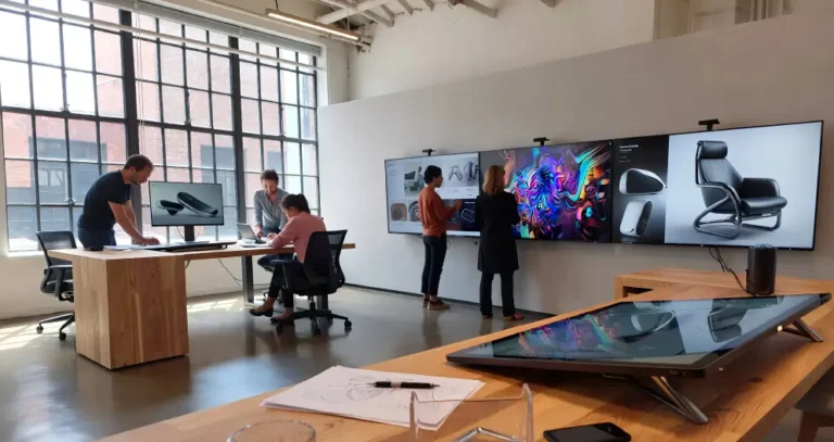
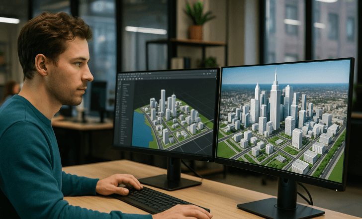
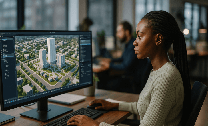
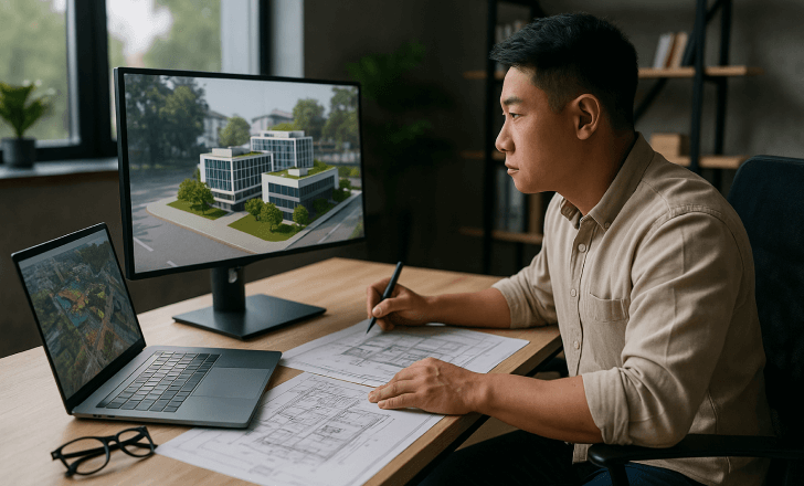
At its core, augmented reality urban planning combines three elements: the physical environment, digital models, and AR devices or apps that overlay digital information onto a user's surroundings. The goal is to allow planners and stakeholders to explore and evaluate urban designs in real world settings—not just on paper or a flat screen.
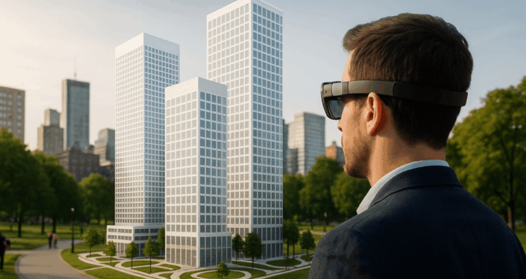
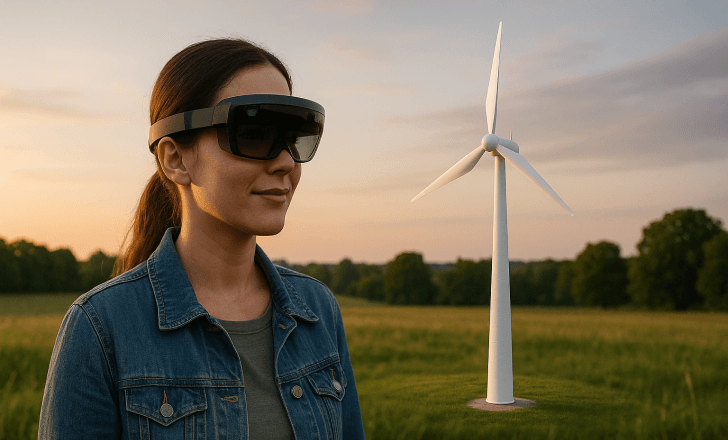
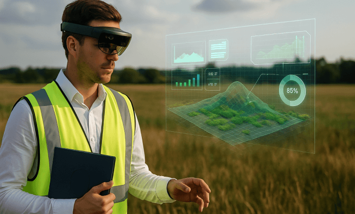
Specialized AR glasses or mobile AR apps enable users to walk through public spaces or building sites while viewing three-dimensional models of new buildings, infrastructure, and public amenities as if they were physically present. These digital elements can include:
- Architectural designs and proposed changes
- Transportation networks and traffic flow simulations
- Pedestrian pathways and accessible routes
- Energy consumption and sustainability features
- Social interaction and foot traffic patterns
This immersive approach offers city planners, architects, and the public a deeper understanding of how new developments will impact the surrounding environment and community.

Real-world examples: Tampa Bay's AR urban planning project
A powerful example of this technology in action was recently showcased at the 2025 AWE event, where the city of Tampa Bay presented an innovative project using augmented reality and QR codes to support urban infrastructure development and climate resiliency planning.
In this project, QR codes placed at key public spaces enabled citizens to scan and view AR visualizations of proposed stormwater improvements and sea-level rise mitigation features. The initiative allowed community members to provide feedback on these proposed developments, fostering greater public engagement and helping city officials make more informed decisions.
Such projects highlight how AR enhances transparency, accessibility, and collaboration in the urban planning process.
Why augmented reality is a game-changer for urban planners
For urban planners, AR technology offers distinct advantages over traditional methods:
- Enhanced visualization: Seeing proposed changes in real world environments improves comprehension and decision-making.
- Interactive experiences: AR enables users to explore designs from different perspectives and provide feedback in real time.
- Public engagement: Community members can experience and understand developments through AR apps, making planning more inclusive.
- Faster iterations: Design concepts can be adjusted quickly in response to stakeholder input.
As AR technology continues to improve, these benefits will become even more pronounced, helping planners create better, more sustainable cities.
Key applications of AR in urban planning projects
AR applications are now being used across many areas of urban development:
Sustainable urban development
AR helps planners visualize green infrastructure, renewable energy systems, and environmentally friendly building materials in context, supporting sustainable cities.
Smart city projects
In smart cities, AR integrates with IoT data to provide real-time visual insights on energy usage, traffic patterns, and public space utilization.
Historical sites and cultural preservation
AR overlays digital content onto historical sites, helping planners balance new developments with cultural heritage preservation.
Accessibility planning
City planners can use AR to test accessible routes and ensure public spaces accommodate all users.
Public safety and emergency planning
AR simulations help visualize emergency evacuation routes and optimize the design of safe public spaces.
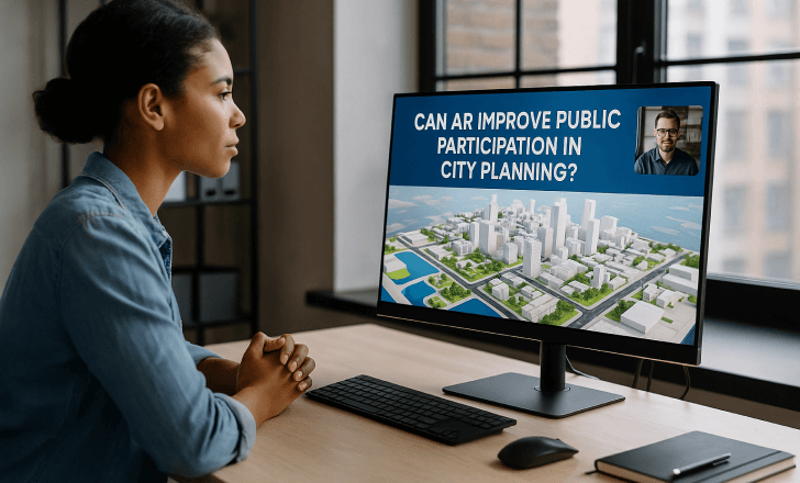
How AR enhances public engagement in the planning process
One of the most exciting aspects of augmented reality urban planning is its potential to engage the public. Instead of relying solely on 2D renderings or complex reports, AR experiences enable community members to:
- View proposed developments in the actual physical surroundings
- Interact with digital models and provide feedback
- Understand how changes will affect their daily lives
This transparency fosters trust, improves public perception of projects, and can help overcome resistance to change.
New possibilities unlocked by AR technology
AR is opening new possibilities for city planners and urban designers:
- Dynamic updates: AR models can reflect design changes instantly.
- Data-rich experiences: Integrating AR with artificial intelligence and big data provides deeper insights.
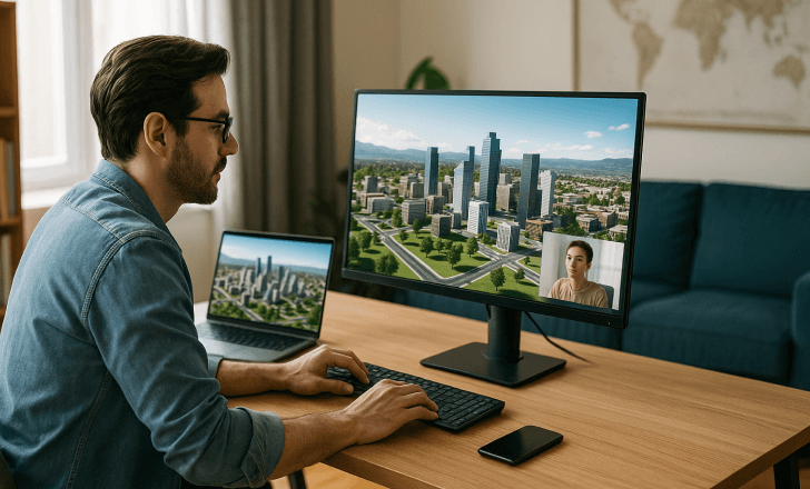
- Mixed reality collaboration: Planners in different locations can collaborate in shared AR environments.
- Educational experiences: AR helps educate the public about urban planning concepts and the impact of proposed changes.
As AR technology continues to advance, these applications will become more sophisticated and widespread.
Significant challenges and limitations
Despite its promise, AR urban planning still faces several challenges:
- Technical limitations: Accurate alignment of digital elements in outdoor environments can be complex.
- Accessibility: Not all community members have access to AR devices or apps.
- Data privacy: Managing data responsibly is essential as AR applications gather and display information.
- Costs: Developing and maintaining AR experiences requires investment.
Urban planners must address these issues to ensure AR is used effectively and equitably.
How does AR compare to virtual reality in urban planning?
While both augmented reality and virtual reality (VR) are used in urban planning, they serve different purposes. VR creates entirely virtual environments, ideal for fully immersive design reviews and training. AR, on the other hand, overlays digital content onto the physical world, making it better suited for engaging the public and visualizing how new developments will interact with existing urban environments.
What are the best devices for experiencing AR urban planning?
AR urban planning experiences can be accessed through several types of devices:
- Specialized AR glasses: Provide hands-free, high-quality visualization for professionals.
- Smartphones and tablets: Accessible to the public via AR apps.
As AR glasses become more affordable and user-friendly, their adoption in urban planning projects will likely increase.
How do AR experiences improve the design process?
By enabling users to interact with digital models in real world settings, AR enhances the design process in several ways:
- Helps identify design flaws early
- Facilitates collaboration between stakeholders
- Supports iterative improvements based on real-world feedback
- Improves the integration of new developments with the existing built environment
How can city planners get started with AR?
City planners interested in adopting AR technology can begin by:
- Exploring AR apps tailored to urban planning
- Partnering with technology providers and academic institutions
- Piloting AR projects for specific developments
- Gathering community feedback and refining their approach
Starting small allows planners to build expertise and demonstrate the value of AR to stakeholders.
What is the future of augmented reality urban planning?
The future of augmented reality urban planning looks bright. As AR devices become more advanced, software tools more powerful, and data integration more seamless, AR will become an indispensable tool for shaping sustainable cities and smart urban environments.

Expect to see:
- Greater use of artificial intelligence to enhance AR experiences
- Wider adoption of AR in public engagement campaigns
- Integration with digital twins of cities
- Expanded use in construction, monitoring, and post-occupancy evaluation
Ultimately, AR will help bridge the gap between vision and reality in urban design, creating cities that are not only smarter but more livable, sustainable, and responsive to the needs of their communities.